.svg)
.png)
.png)
.png)
.png)
.png)
A Tech Demo By Guidance Marine, Sonardyne and Veripos
-76%20(3).jpeg)
The offshore industry is facing a rising level of GNSS interference – including jamming, spoofing and degradation.
For vessel operators and DP system integrators, this is driving a shift towards more Resilient Positioning strategies.
Rather than relying on a single positioning source, the focus is moving towards multi-layered solutions that combine independent references to maintain confidence in vessel positioning.
Achieving this requires different positioning technologies to work together, providing reliable and independent references across a range of operating conditions.
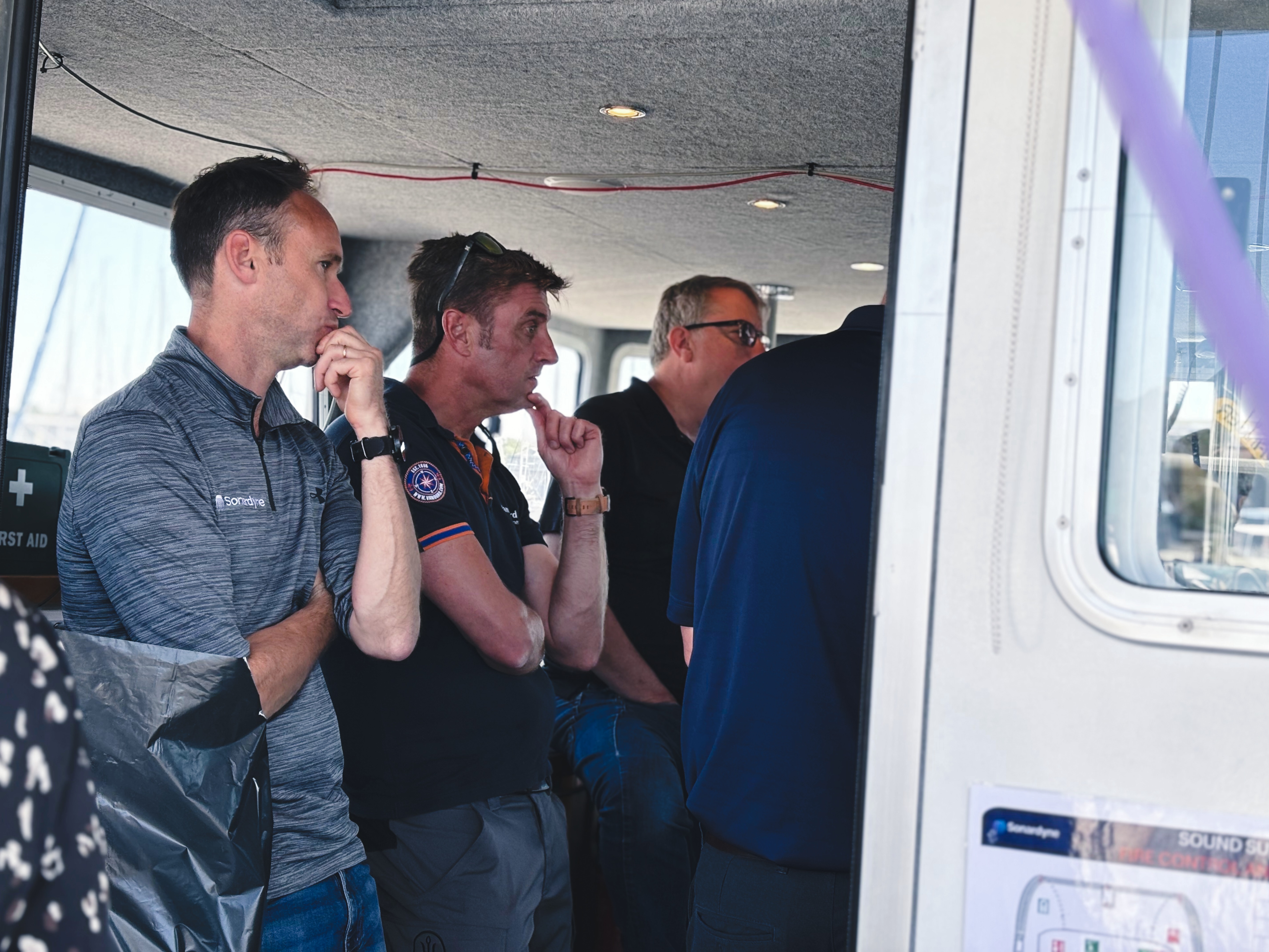
Guidance Marine partnered with Sonardyne and Veripos to conduct a technology demonstration at Sonardyne’s Plymouth testing facility.
The demonstration combined multiple independent positioning technologies from multiple suppliers. We showcased how resilient positioning can be delivered for future-ready operations, even when GNSS signals are unavailable, degraded or cannot be trusted.

The Result
- Guidance Marine's DockLock demonstrated its ability to provide vessel positioning when GPS was unavailable
- As an industry first, Dock Lock (radar based position) initialised SPRINT-Nav DP
- Interoperability between technologies from multiple suppliers
An Industry-Led Collaboration:
Addressing the challenges of GNSS resilience requires collaboration across the industry.
By partnering with trusted technology leaders Sonardyne and Veripos, we brought together decades of positioning expertise and complementary technologies to demonstrate how an integrated, multi-sensor approach can help deliver reliable operations in increasingly complex operating environments.
The Technologies Used:
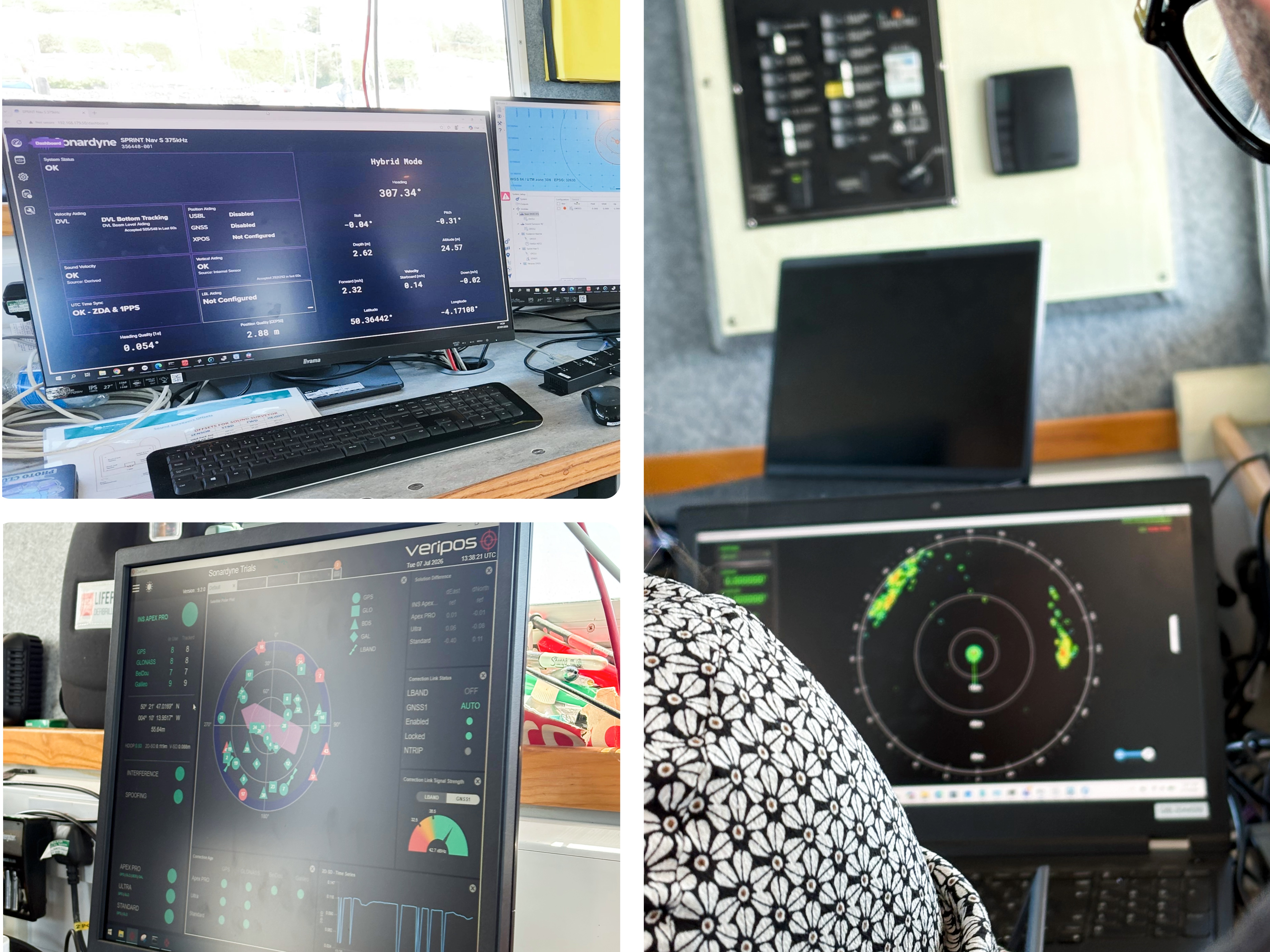
Guidance Marine: A leading provider of position reference sensors for the offshore and maritime industries. Maintaining accurate, trusted vessel positioning through independent, resilient reference solutions.
- DockLock - High-Definition Short Range Radar
Sonardyne: A global leader in underwater and marine technology, delivering innovative solutions for navigation, positioning and autonomy.
- SPRINT-Nav DP
- Ranger 2 USBL acoustic positioning
Veripos: Deliver GNSS solutions that provide precise, reliable and assured data for offshore and maritime. Its correction services support safe and efficient operations where accuracy and availability are critical.
- LD900GNSS positioning with anti-jamming and anti-spoofing protection
The Technology in Action:
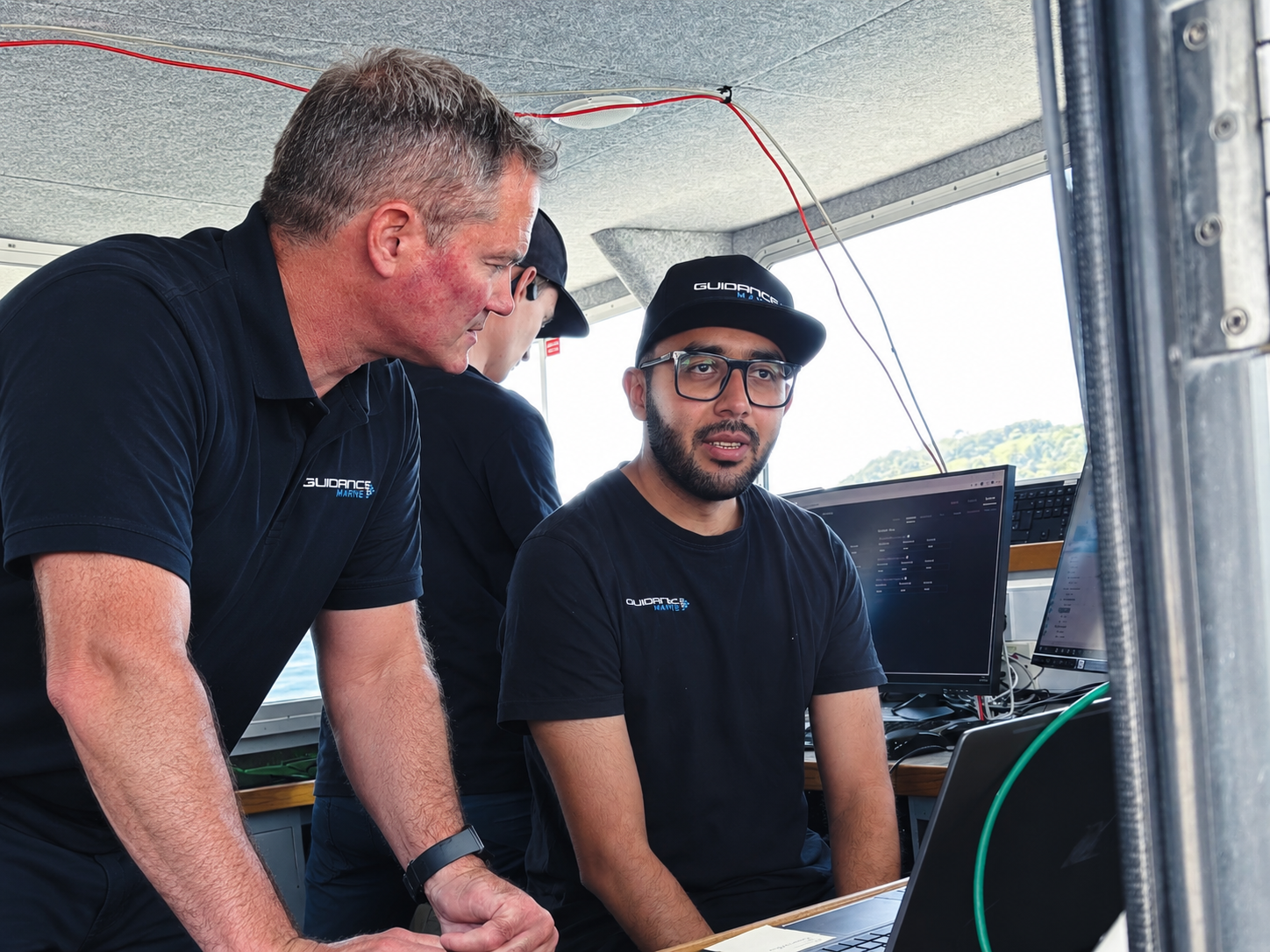
The demonstration showcased the following:
- Inertial, acoustic, radar and GNSS references as a single integrated DP architecture
- Radar-based positioning as an independent local reference sensor
- Integration of SPRINT-Nav outputs into third-party systems:
- Non-GNSS initialisation of SPRINT-Nav using USBL positioning from a pre-calibrated seabed beacon.
- Non-GNSS initialisation of SPRINT-Nav using DockLock positioning
- Use of USBL and a pre-calibrated seabed transponder to establish vessel position independent of GNSS.
- Advanced GNSS positioning and interference mitigation using Veripos technology.
- Interoperability between technologies from multiple suppliers.
Using data from Guidance Marine’s radar and a previously prepared survey of the operating area, DockLock continued to track the vessel and generate live latitude and longitude estimates after its GPS input was disconnected.
These estimates were integrated into the Sonardyne Fusion system using a standard marine positioning message format, where DockLock was displayed alongside the other position-reference solutions and used as an alternative position source.
What is Dock-Lock?
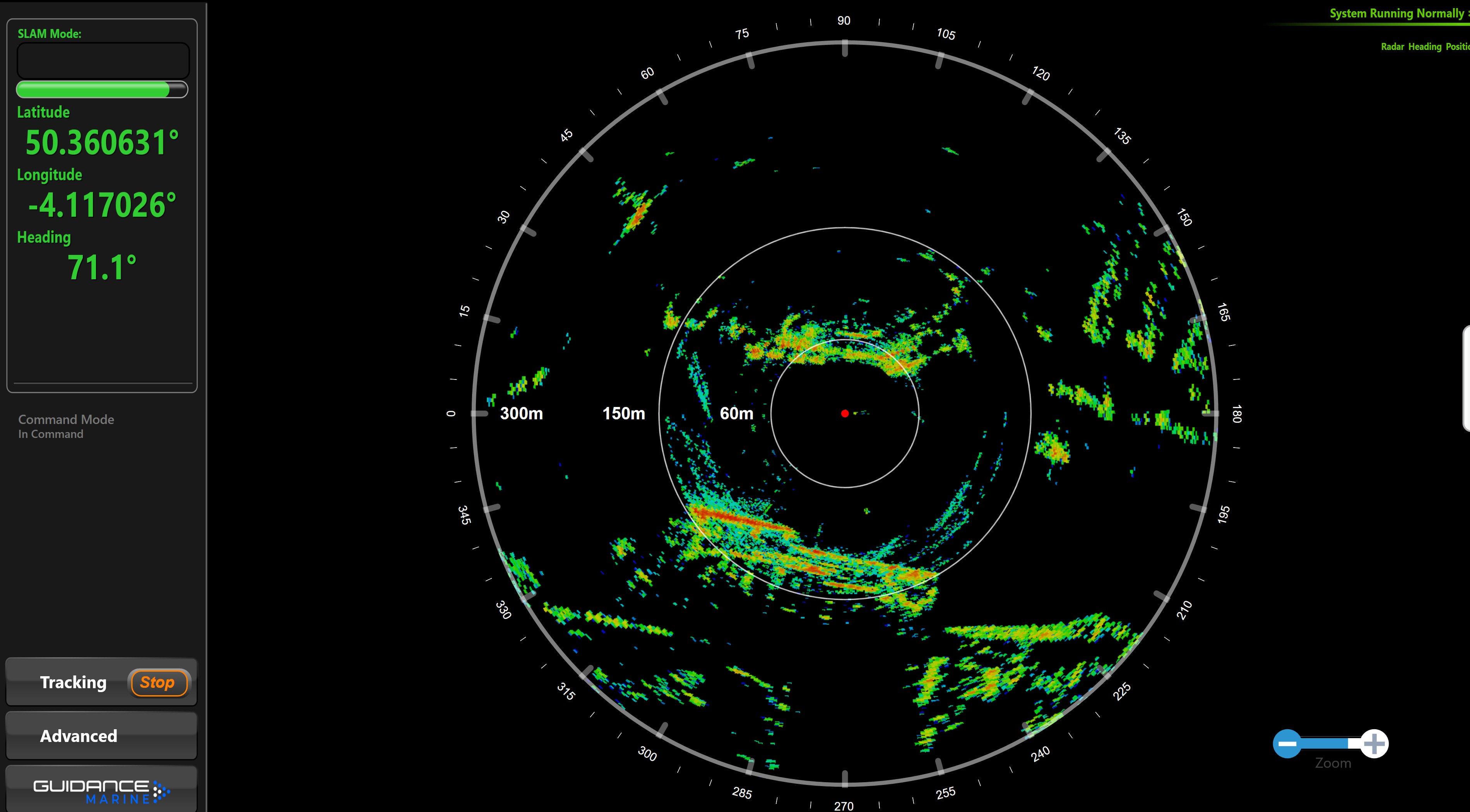
The trials represented an important milestone in the product development journey of DockLock.
It was an opportunity to validate DockLock’s capabilities in a real-world environment, whilst demonstrating progress towards a future solution for GNSS-independent vessel positioning.
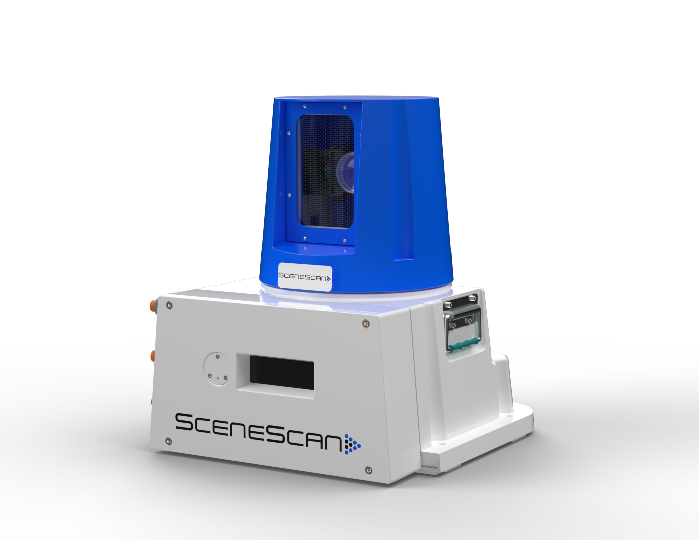
DockLock builds on Guidance Marine’s established expertise in high-precision position reference systems, using an existing high-resolution 24 GHz radar sensor to capture detailed images of the vessel’s surrounding environment.
These radar images are then compared against a previously recorded reference map, enabling the system to calculate the vessel’s position independently of GNSS.
The position information can be provided in multiple formats, including:
- Range and bearing relative to a user-defined reference point within the radar image
- Latitude/longitude or UTM coordinates for integration with wider navigation and control systems
Position data is displayed through the DockLock user interface and can be delivered directly to vessel systems using either DP telegram formats or standard NMEA-compatible outputs, enabling straightforward integration with existing architectures.
By providing a high-accuracy position reference independent of GNSS, the technology could support a range of marine operations where reliable positioning is critical, including:
- Automated and semi-autonomous vessel operations (cruise and ferry)
- Maintaining vessel position awareness during periods of GNSS disruption or denial
- Enhanced control for inland waterway navigation, including precision maneuvering, lock approaches and operation in confined waterway
The demonstration provided an important step in showcasing how radar-based positioning can complement other independent references to create more resilient vessel positioning in an increasingly challenging GNSS environment.
Learn more about our Resiliant Positioning Solution over the next few months.
If you are interested in learning more about our Resilient Positioning System, or would like a demonstration, contact us to learn more.

Ready to Elevate Your Vessel Positioning?
Whether you're navigating offshore installations, managing crew transfers, or advancing autonomous capabilities, our technology is built to deliver confidence at sea.

.png)
.svg)
.svg)